
In the contemporary digital landscape, the role of geospatial data has become increasingly pivotal, shaping the way we understand, interact with, and navigate the world around us. From urban planning and environmental monitoring to disaster response and location-based services, geospatial data has emerged as a cornerstone of modern technological advancements. In this exploration, we delve into the intricacies of geospatial data, unravelling its significance and the myriad ways it contributes to our interconnected world.
Defining Geospatial Data: At its essence, geospatial data refers to information that is inherently tied to a specific location on the Earth's surface. This data is not just about maps; it encapsulates a vast array of information, including geographic coordinates, topography, land use, climate patterns, and much more. The integration of geospatial data with advanced technologies has given rise to a multifaceted tool that empowers decision-makers, researchers, and individuals alike.
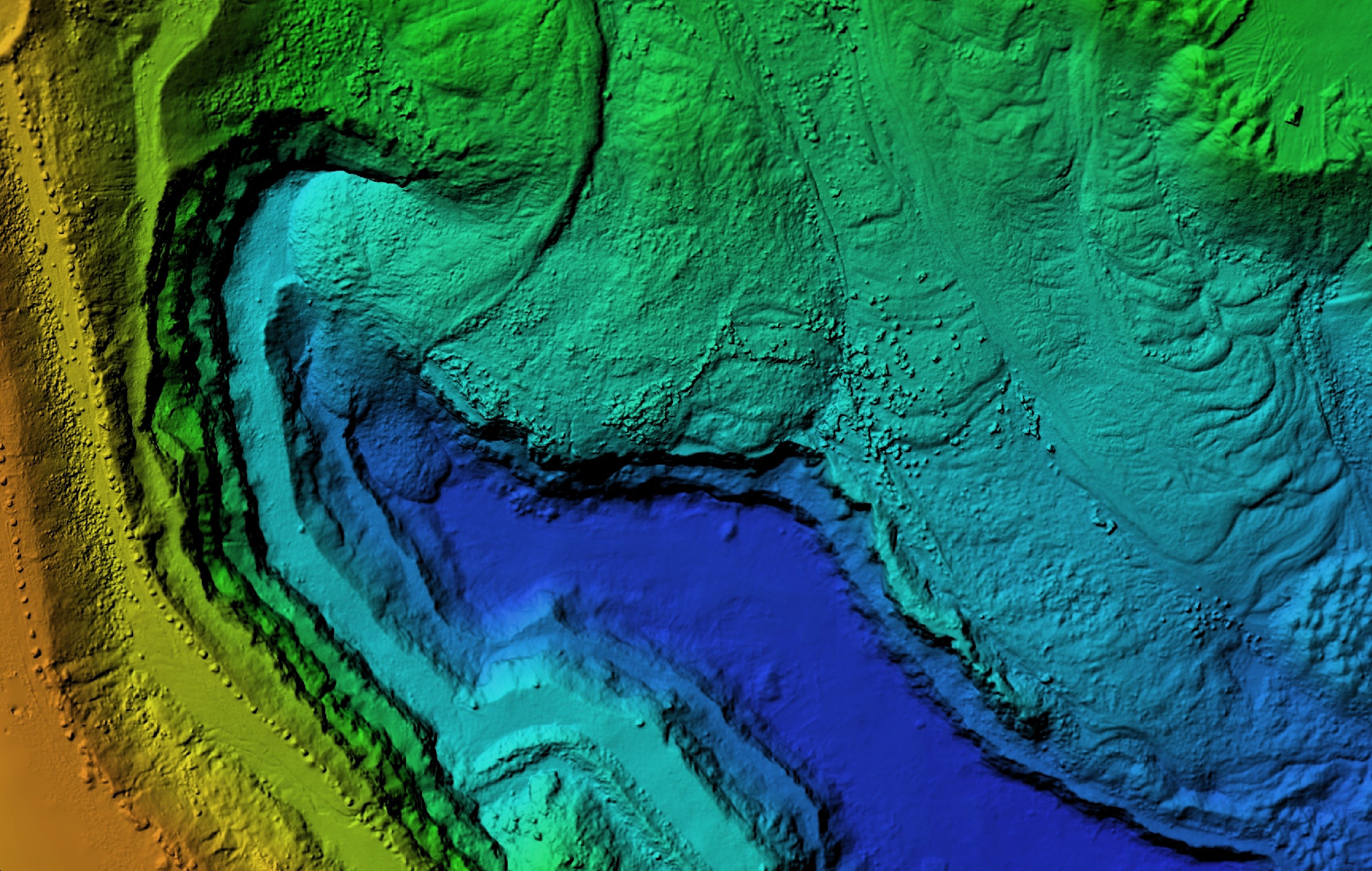
Mapping the World: One of the most apparent applications of geospatial data is in the creation of maps. Digital mapping technologies have revolutionised our ability to visualise and interpret geographic information. From detailed street maps for navigation to topographic maps for environmental analysis, geospatial data forms the backbone of mapping solutions that are integral to our daily lives.
Satellite imagery and aerial surveys contribute to the creation of high-resolution maps, providing a bird's-eye view of the Earth's surface. These maps are not static; they can be updated in real-time, allowing for dynamic representations of changes in the environment, infrastructure, and land use.
Urban Planning and Infrastructure Development: In the realm of urban planning, geospatial data plays a crucial role in optimising the allocation of resources, managing infrastructure, and creating sustainable cities. By analysing data related to population density, transportation networks, and land use, urban planners can make informed decisions to enhance the efficiency and livability of urban spaces.
For example, geospatial data aids in identifying suitable locations for new infrastructure projects, such as roads, utilities, and public facilities. This proactive approach to urban development contributes to reducing congestion, improving accessibility, and ensuring the overall well-being of city residents.
Environmental Monitoring and Conservation: Geospatial data is a powerful tool for environmental scientists and conservationists, providing valuable insights into the Earth's ecosystems and helping monitor changes over time. Satellite imagery and remote sensing technologies enable the tracking of deforestation, changes in land cover, and the impact of climate change on various habitats.
In conservation efforts, geospatial data assists in identifying biodiversity hotspots, tracking migratory patterns of endangered species, and planning protected areas. The ability to overlay multiple layers of information, such as temperature, precipitation, and soil composition, allows researchers to develop comprehensive models for understanding and preserving delicate ecosystems.
Disaster Response and Management: Geospatial data plays a critical role in disaster response and management, providing essential information for timely and effective interventions. During natural disasters such as hurricanes, earthquakes, or floods, accurate mapping of affected areas is crucial for coordinating emergency responses, evacuations, and resource mobilisation.
Satellite imagery and geospatial analytics enable rapid damage assessment, helping authorities identify areas that require immediate attention. This information is invaluable for coordinating rescue operations, distributing aid, and planning the reconstruction of affected regions. Geospatial data has proven to be a lifeline in times of crisis, facilitating a more resilient and adaptive approach to disaster management.
Location-Based Services and Navigation: In the era of smartphones and location-based services, geospatial data has become an integral part of our daily routines. From navigation apps to location-based recommendations, our devices leverage geospatial information to provide us with real-time insights into our surroundings.
Global Positioning System (GPS) technology, combined with geospatial data, allows for accurate and dynamic navigation. Whether finding the shortest route for a commute or discovering nearby points of interest, the seamless integration of geospatial information enhances our ability to explore and interact with the world.
Challenges and Ethical Considerations: While the benefits of geospatial data are immense, its usage also poses challenges and ethical considerations. Privacy concerns arise as location data becomes increasingly detailed and accessible. Striking a balance between utilising geospatial information for societal benefit and safeguarding individual privacy is a delicate task that requires careful regulation and ethical guidelines.
Moreover, standardisation of geospatial data formats and interoperability between different systems remain challenges. Efforts to create common standards and promote collaboration between stakeholders are essential for ensuring that geospatial data can be seamlessly shared and integrated across various platforms.

The Future of Geospatial Data: As technology continues to advance, the future of geospatial data holds exciting possibilities. The integration of artificial intelligence, machine learning, and the Internet of Things (IoT) is poised to enhance the capabilities of geospatial analytics. Automated analysis of large datasets, real-time monitoring, and predictive modelling are areas where these technologies can significantly contribute to the evolution of geospatial data applications.
In conclusion, geospatial data has become an indispensable tool in our interconnected world, shaping the way we understand, manage, and interact with our environment. From urban planning and environmental conservation to disaster response and everyday navigation, the applications of geospatial data are vast and diverse. As we navigate the future, the continued exploration and responsible use of geospatial data hold the key to building a more informed, sustainable, and interconnected world.

Pips Houghton
Content Executive, GovNet Tech Events Portfolio.
-Apr-25-2024-09-43-35-5584-AM.png?width=80&height=80&name=Untitled%20design%20(77)-Apr-25-2024-09-43-35-5584-AM.png)